Interests — Aviation
Flying the Hudson: North to South
This is the second page of information for flying light aircraft on the popular sightseeing route of the Hudson River, passing through the metropolitan New York City area. If you’ve come here directly via a search engine, you may wish to check out the first page with basic pre-requisite information prior to reading this page.
Below are details on the self-announce points and altitude notes for flying the Hudson River, New York City. I’ve listed them North to South. My assumption is that pilots (being as stunningly brilliant as we are) are most likely able to reverse these instructions as necessary!
Originally published in the early 2000s and updated for current procedures — operational information reviewed August 2026. The altitudes and reporting points below reflect today’s SFRA (see the first page); where my original pre-2009 numbers differed, they’re noted as history. Use current FAA charts, NOTAMs and flight-planning information for navigation.
Summary of the Route and Self-Announce Reporting Points
| Hudson River | 123.05 |
Note: today’s SFRA makes the charted reporting points mandatory, and your call must include aircraft type, current position, direction of flight, and altitude. Between the mandatory points, the old judgment advice still applies -you can just like at a non-towered airport, be clear and let others know where you are. Here’s an example…
“Hudson Traffic, Bugsmasher 123, George Washington Bridge, southbound Jersey side, one thousand, Hudson.” (Some leave out the “Jersey side” given that it should be assumed if you’re southbound that’s where you’ll be. Can’t hurt though.)
--- OR ---
“Hudson Traffic, Bugsmasher 123, Intrepid, southbound, Jersey side, one thousand, Hudson.” (In this case, you should say Jersey side as the Intrepid is on the NY side. A call at the Intrepid may otherwise have others assuming you’re on the NY side. Some argue that you shouldn’t use NY side landmarks as calls when going southbound. However, there’s not much clearly landmark-like in a lot of places on the Jersey side. So this should be plenty adequate if you just indicate your direction of flight and which side of the river you’re on.)
Everyone should know where to look for you now. 1,000 feet above the west side of the Hudson abeam the Intrepid headed south.
Below are the points, north to south. Today, six of them: Alpine Tower, the GWB, the Intrepid, the Clock, the Statue and the Verrazzano Bridge are charted mandatory SFRA reports. The rest remain what they always were: good visual landmarks for knowing (and saying) where you are.
The Checkpoints, North to South
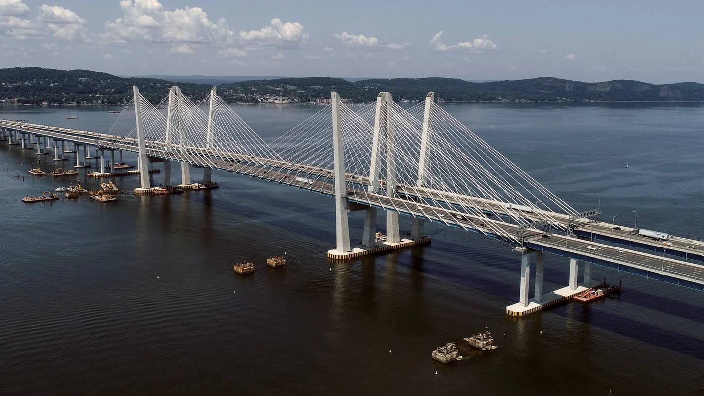
Tappan Zee Bridge / Governor Mario M. Cuomo Bridge
Visual landmark — north of the ExclusionJust north of the bridge, you would need to be below the 3,000 foot floor of the outer Class B ring. (The bridge has officially been the Gov. Mario M. Cuomo Bridge since 2018 - and it’s been completely rebuilt since I first wrote this - but pilots still say Tappan Zee. Note this is well north of where today’s SFRA begins.) Technicaly, the old Tappan Zee bridge was wholly destryed and this is a new bridge. So the bridge is the Mario Cuomo bridge, regardless of petitions by locals, etc. That being said, it's such an established thing local pilots likely won't change the New York Sectional Chart still has it as "Taappn Zee" so just use that.
Alpine Tower
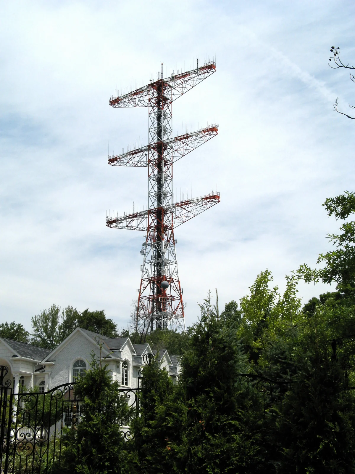
Current mandatory SFRA reportThe tower is orange & white on the west side of the river. This is in Alpine, New Jersey. Today this is the north end of the Hudson River Exclusion. By this point, transient flights should be settled into the 1,000–1,300 band (when I first wrote this the number to beat was the old 1,500 Class B floor; the airspace was redefined in 2009). As of about now, you’re going to be running short on places for emergency landings. The Englewood Cliffs on the right may make gliding to anywhere difficult. There are some parks down by the water where you may be able to get yourself a good non-water egress, but you’re not likely to have an undamaged plane. There’s some very questionable spots on the east side of the river you could try for. In short, it's not just a corridor in terms of airspace name. Options for clean land-based emergency landings are essentially non-existent for the next 18 miles or so, where some spaces start to open up on the New Jersey side. That being said, Teterboro (KTEB) and Newark (KEWR) might be do-able emergency sites if your situation is more urgency vs. immediate.
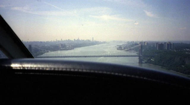
George Washington Bridge
Current mandatory SFRA reportWhen I originally wrote this, the corridor ceiling here was 1,100 and the advice was to ride at 1,000 to stay safely under it; today the Exclusion runs to the 1,300 Class B floor and transient flights hold 1,000–1,300. So 1,000-and-a-bit still works fine. You can use Van Cortlandt Park (a flagged VFR reporting point) on the east side of the river to know just when you really need to be squared away. Beware! The bridge stanchions come up to about 650. Do not hit the GWB. Besides the potential for dying, if you’re responsible for closing this bridge, you won’t personally WANT to survive when NYC commuters get hold of your name. In any case, for a little while now you have very few emergency landing options.
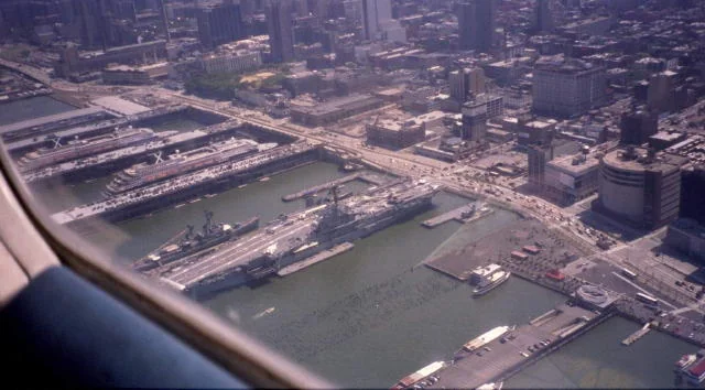
The Intrepid
Current mandatory SFRA reportThe Intrepid is an aircraft carrier and floating museum on the Manhattan side of the river. Don’t try to land here. There’s static display aircraft on deck, there's a space shuttle in the enclosed area, and they don’t sell Avgas or have pilot services in any case.
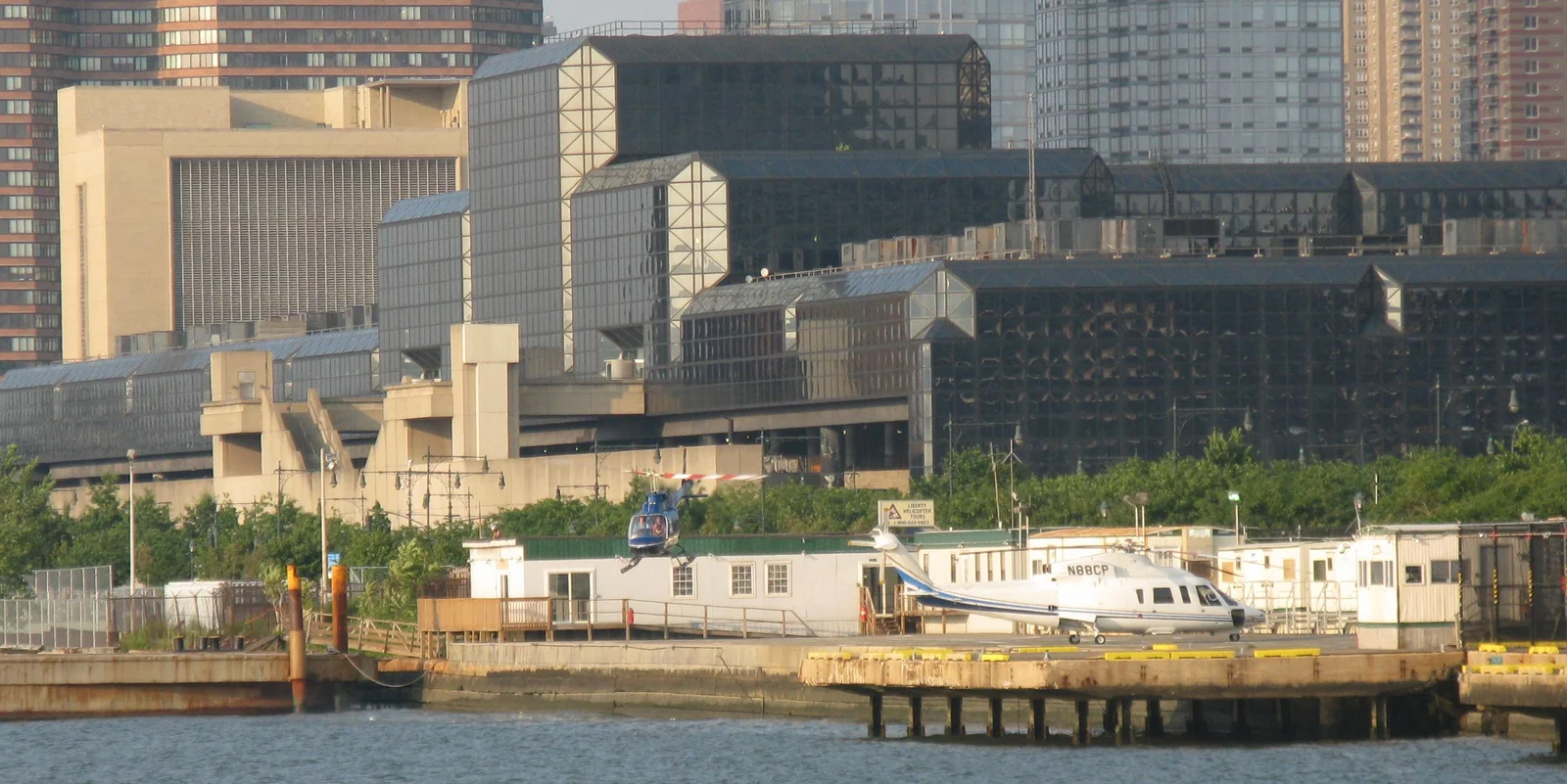
30th Street Heliport
Visual landmarkIt’s actually fairly small and hard to spot unless there’s traffic buzzing in and out. But it’s just north of the more obvious large Chelsea Piers sporting complex. (Try not to fly into the golf driving range nets; I can see the headline… “Small Plane Caught in Mosquito Netting.”) Local chopper pilots fully realize there might be transients that don't really know the area. And it might be hard to pick out helicopters in ground clutter while managing what might be a slower airspeed for you. The point is, there's chopper traffic. Some business, some sightseing, whatever. Best to keep head up and on swivel.
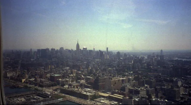
Empire State Building
Visual landmarkIf you don’t know what this looks like, I’m not sure you should be coming to NYC!! There’s a pic on the right though, just in case.
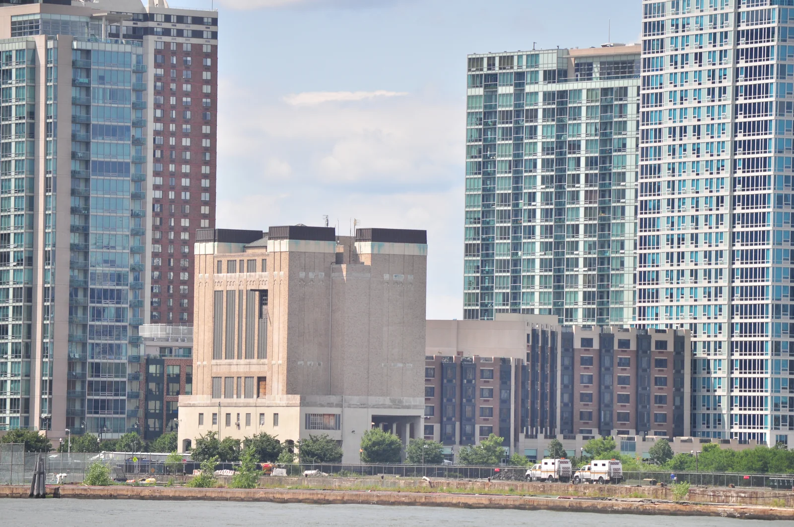
Holland Tunnel
Visual landmarkA tunnel may seem like an odd reporting point for aircraft. But this location may be recognized by the ventilating towers. They’re building sized. Note that the Lincoln Tunnel ventilating towers are immediately south of the Intrepid, while the Holland towers are several nautical miles further south.
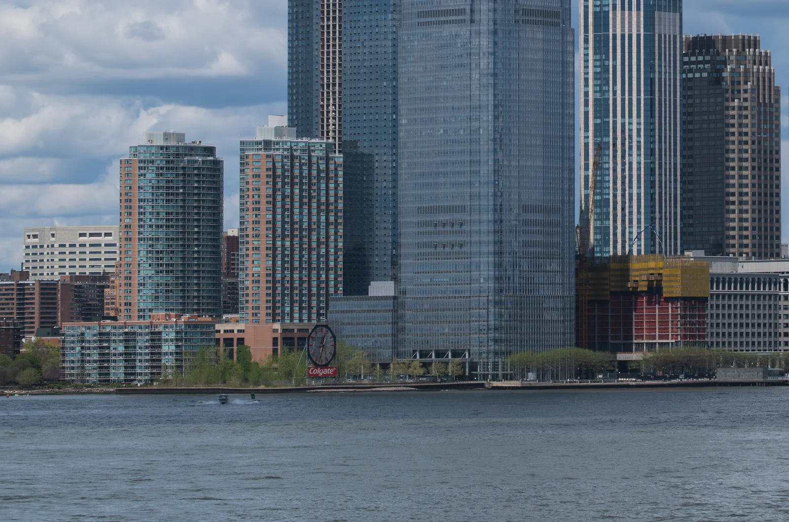
The Clock (Colgate Clock)
Current mandatory SFRA reportA post-2009 addition to the charted lineup: the huge Colgate Clock on the Jersey City waterfront, across from lower Manhattan. It wasn’t part of my original list - the SFRA added it - but it’s an easy spot and it’s now one of the mandatory calls.
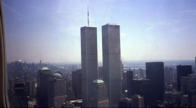
World Trade Center
Historical — site rebuiltThe building looks different now. I'm sorry, but I'm leavig the old one up. This, of course, used to be an amazing sight. Flying by this piece of architecture at the legal altitude would put you below the top of it. You could look UP and see people above you. Today, One World Trade Center and the 9/11 Memorial stand on the site - taller than what the corridor altitude ever was, and unmissable at the foot of the island. DO NOT spend a lot of time seeking it. You need to watch for traffic. This is a VERY busy section of the river with plenty of helicopter sightseeing traffic as well as sightseeing aircraft and those just transitioning the Exclusion to get through the airspace.

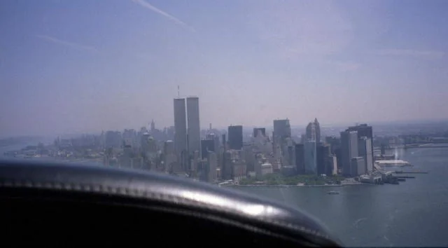
A second photograph from that same flight, also taken just weeks before 9/11.
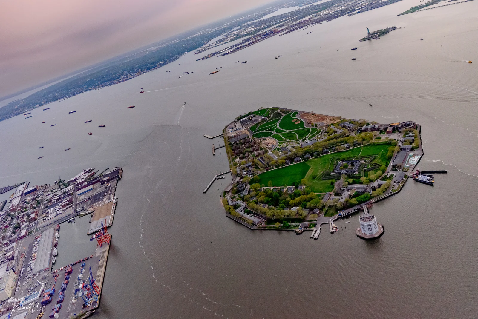
Governors Island
Visual landmarkThis is off the tip of Manhattan. Draw a line due south from the tip. That’s Governors. (It also matters for the East River rule: airplanes need LaGuardia Tower’s authorization before Governors Island to continue up the East River — see the first page.)
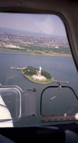
Statue of Liberty (commonly referred to as “The Lady”)
Current mandatory SFRA reportYou’ll know it when you see it. If you must circle here, today’s FAA guidance is to do it at the highest practical altitude below 1,000, counter-clockwise - and to watch hard for the tour helicopters working an irregular pattern around 500 feet. (When I originally wrote this the ceiling here was the old Class B floor and the arithmetic was tighter; the principle hasn’t changed: careful, high as legal, eyes out.) NOTE: If you go even just a LITTLE bit too far west of the statue (like about 1/4 nm), you’re headed out of protected territory and toward Newark’s airspace. Look CAREFULLY at the chart - the Colts Neck VOR radial charted west of the statue is the line you care about. Meaning, if you have the FROM radial dialed in, stay on the river side of it. But who uses VORs any more? So just make sure your moving map is dialed to a scale where you can clearly avoid having a problem.
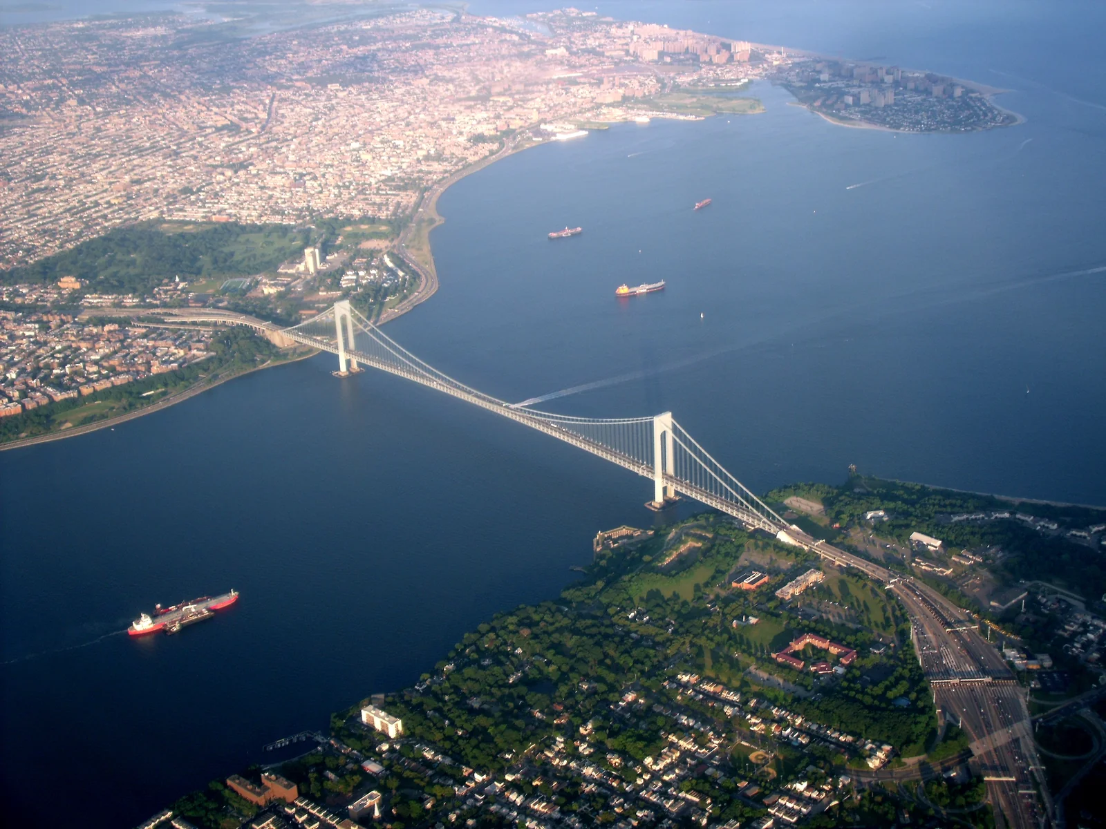
Verrazzano Narrows Bridge
Current mandatory SFRA report (“VZ”)Once you’re over this, you’re out of the worst of the traffic mix, but it’s still a busy area. This is also the south end of today’s Exclusion. (I originally wrote that you could climb to 1,400 after clearing the bridge - that was the 2004 chart’s arithmetic. Check the current TAC for today’s shelves before you climb.) Technically you can find legal room to climb earlier if you want to thread the needle in the allowable airspace areas looking carefully at the chart. But to make sure you’re legal, you may just want to stay low until you’re Clearly Clear.
Course Reversal on the Hudson
| Mid-River | There’s enough room to do this for a light plane, but obviously this depends on your speed and turning radius. You should probably announce this. And you had best be looking around as much or more than you ever have during a turn. Not to mention taking care with any increased stall speed issues due to load factore if you slowed down. |
| Southern End | If you can do this south of the Verrazzano, great. If not, there’s plenty of room in the bay, but at the very least, get well south of the Statue of Liberty. Or make your turn around the statue to head back north, giving a wide berth to helicopter sightseeing tours or others transitioning south. |
| Northern Portion | Get north of the George Washington Bridge where there’s a bit more altitude and spacing available for everyone. |
Image Credits
The GWB, Intrepid, Empire State, Statue of Liberty and World Trade Center photographs are my own. Tappan Zee/Cuomo Bridge photo by Komzet, Wikimedia Commons, CC BY-SA 4.0 (resized). Governors Island photo by Kailash U, Wikimedia Commons, CC0 (resized). Verrazzano-Narrows aerial by Ibagli, Wikimedia Commons, public domain (resized).